Relive ‘Katy Trail Day 1’
Our first day on the Katy Trail started in tiny Chilhowee,Missouri.
We took the Rock Island Spur, a new addition to the state park system, which was dedicated in 2016. It follows the route of the old Chicago, Rock Island and Pacific railroad.
[stextbox id=”download”]The Rock Island Line is a Mighty Fine Road, by the famous 1930’s folk singer, Leadbelly
[/stextbox]
We’d spent the night before in a rustic AirBnB located about 40 miles closer to Kansas City. If we’d started from the AirBnB, our first day’s trip would have been over 100 miles. So our support crew, Georgia and Maggie drove us to the trailhead of the recently constructed Rock Island Spur. Twenty miles from Chihowee, it joins the Katy Trail in the town of Windsor.
The trail is in excellent shape; the surface is smooth crushed gravel. If it’s dry, you could do it easily with a 28mm tire; I was using a 35mm, and Gene a mountain bike tire. Not so much after a rain, however.
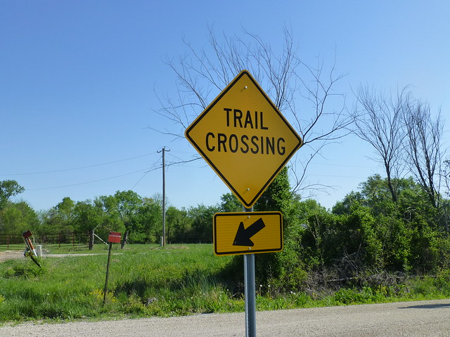
Road crossings are well marked.
We passed no one on the way to Windsor, and there was very little traffic on the roads.
As we approached Windsor, we passed under what was obviously the Katy Trail.
It was approaching noon, and until we went around a corner on Main Street, we hadn’t seen any hint of a place to eat. Then we saw a familiar sign:
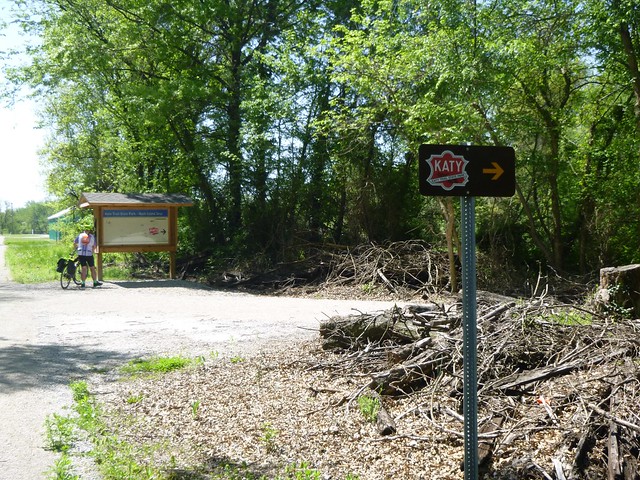
Fortified with comfort food, we retraced our route to the bridge, and followed well-marked path that lead to the Katy Trail.
The Katy trail goes through a couple of small towns on the way to Sedalia, and climbs from 550 to 910 feet. It’s almost imperceptible.
Most of the trail is covered by an arch of trees, which have grown up on the right of way since the railroad was abandoned. It’s often like riding through a tunnel. However, several miles were restored to its original condition – prairie grass – by burning the trees. I imagine this will be a hot and miserable stretch during the summer, but in early May it was quite beautiful.
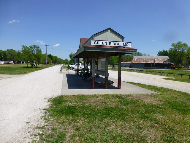
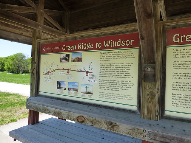
The State of Missouri has constructed trailheads at most of the small towns along the way, and texting pictures of them was a good way to let Georgia and Maggie know where we were. Each of the trailhead shelters, which were 8 to 13 miles apart, had at least a toilet and shade, most had water, and all had interpretive signs letting you know the history of the town, what to look for going east and west, a directory of local restaurants, shops and bed & breakfast accommodations, and a history of the area and of the Katy railroad. We took lots of pictures of the signs and shelters.
We finally pulled into the Sedalia train station about 3 o’clock. Gene had a slow leak in a tire, and there was a good bike shop in the depot, along with a gift shop and museum. He bought a new tire, and I bought a “Katy Komet” jersey. A couple from Illinois cycled by with a 12 pack of beer and offered everyone a cold one. They had started five days earlier in St. Charles, and were going to spend the night in Sedalia before catching the morning estbound Amtrak.
Sedalia is a nice town of about 22,000 people which became important as a junction between the Katy and Missouri Pacific railroads; it’s the site of the Missouri State Fair, and ragtime composer Scott Joplin lived here for several years. We stayed at the beautifully restored 1920’s Hotel Bothwell,
which is actively appealing to a niche catering to bicyclists. They’ll check your bike and take it in a freight elevator to a basement storage room. I was quite surprised the next morning to find at least a dozen bikes parked in the lobby for pickup, and even more so when the room clerk told me that they had been sold out over the weekend with bicycle tours. The economic impact to the local economies of the Katy Trail is unmistakable.
Georgia and Maggie had taken a detour to visit the extensive quilt shops at Hamilton, Missouri, but they arrived at the hotel at the same time we did.
A downtown mural shows the hotel, the courthouse, and some of the (not so) famous stars who grew up here.


Very nicely done.